


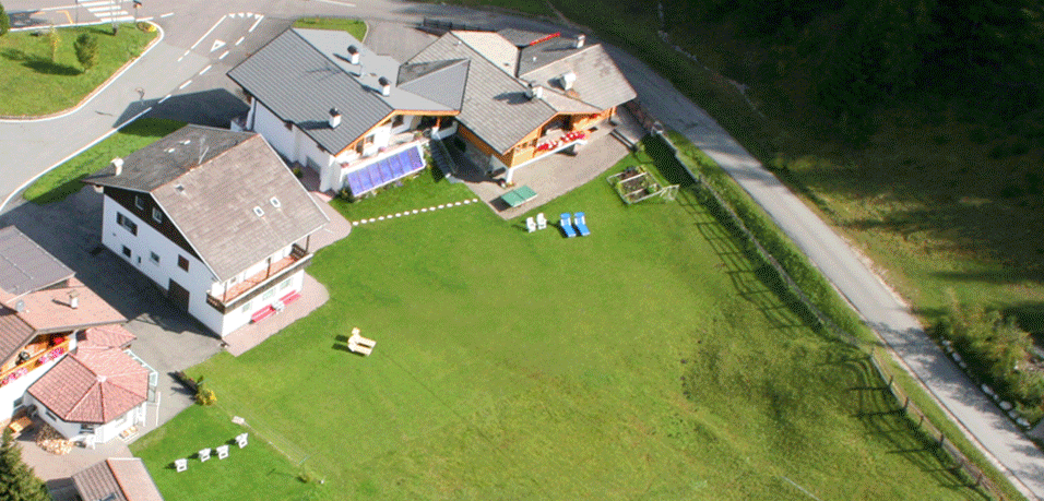


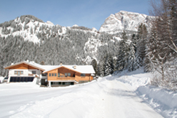
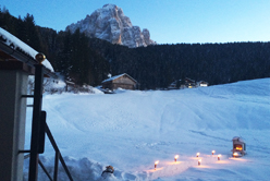
How to find us
We prepare two maps in order to understand better the location of our apartments to the ski slope and to downtown.
 |
|
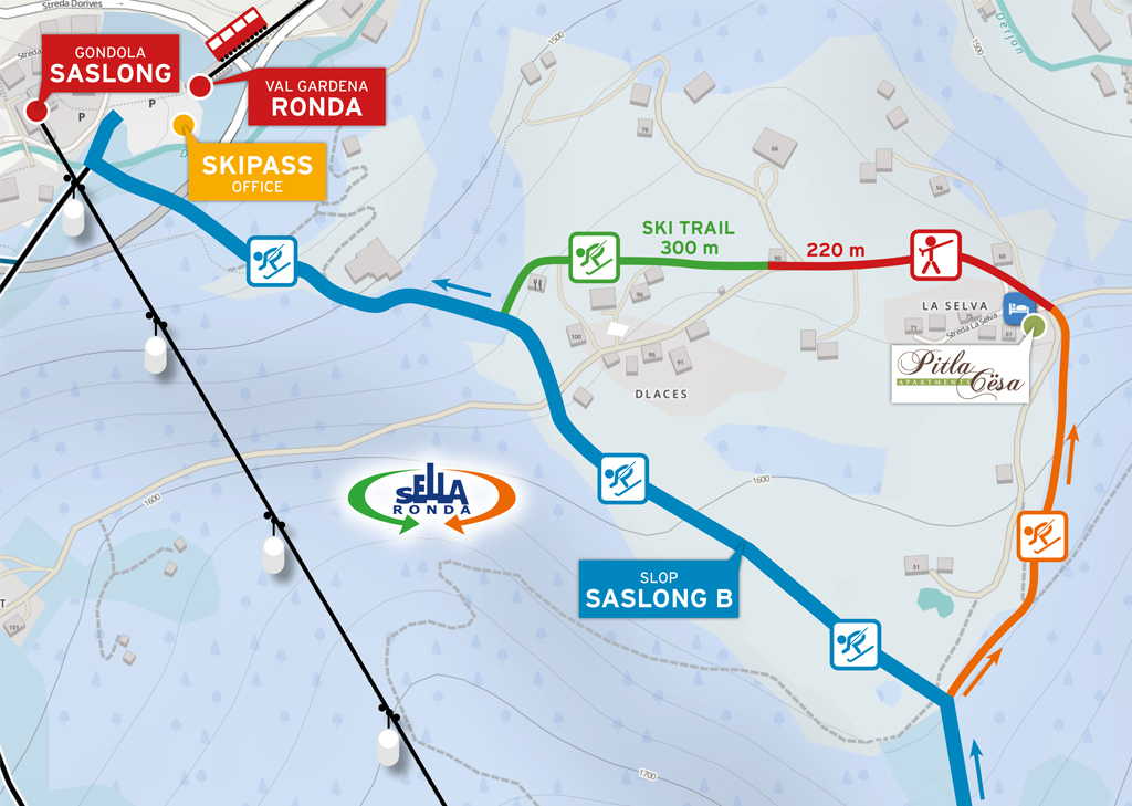
Winter By looking Google maps (summer pictures) it is not always easy to understand our exact position to the slopes and how you can ski directly to the apartment. With this map we try to clarify our position as best as we can. The blue line is the ”official slope” Saslong-B.
|
||
 |
|
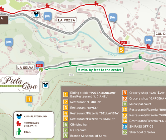
Summer On this map you understand the position of our apartments and the restaurants, grocery stores, footpaths, skipass office...
|
If you drive by car, taxi, airplane or train, at this link you will find all the information needed to reach easily Val Gardena http://www.valgardena.it/en/holidays/val-gardena-advice/before-arriving/arrival/


© www.katiuscia-graphic.com